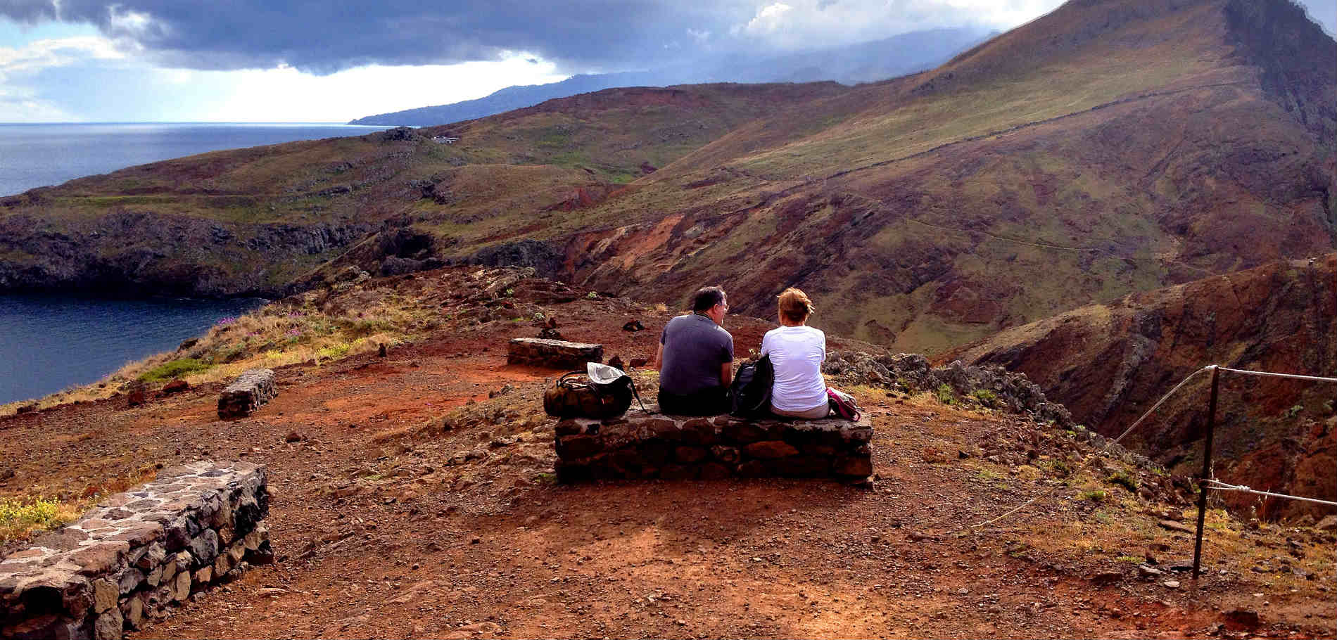
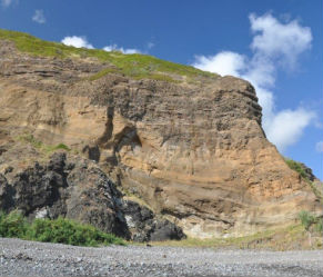
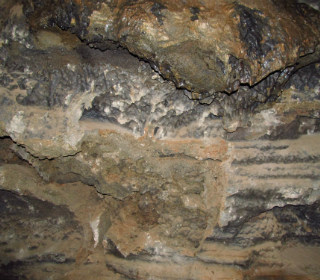
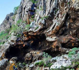
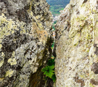
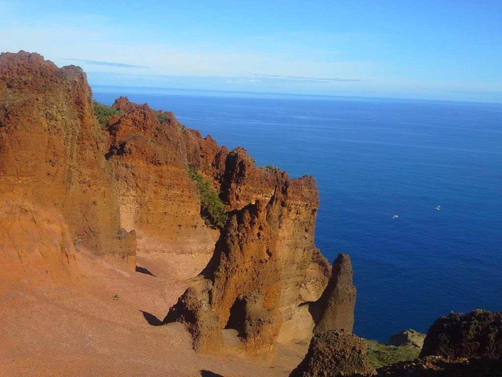
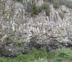
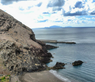
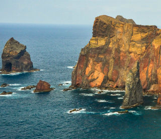
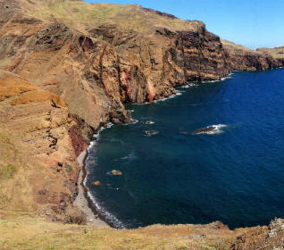
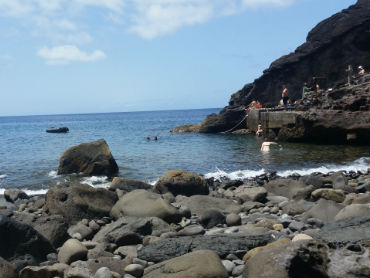
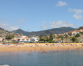
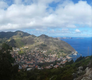
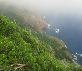
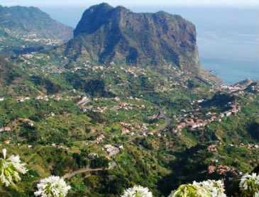
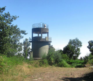
Nature is a word strongly linked to Machico where geology is an important part of the municipality's natural heritage which, together with the unique landscapes, contributes to the implementation of Ecotourism.
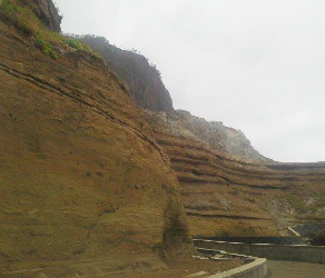
Considered the "Geopark of Madeira", Machico stands out for the quantity and quality of its geosites and geodiversity.
The Island is the result of various volcanic eruptions and is located on the eastern sector of the north atlantic on the African plate (Nubian plate), about 500 km south of the Azores-Gibraltar fracture zone and approximately 1600 km east of the Mid-Atlantic Ridge.
The last volcanic eruption occurred approximately 6000 years ago and formed a robust volcanic massif measuring 5800 metres of which about 3900 metres are completely submerged. At 1861 metres altitude, Pico Ruivo is the highest point of the Island.
The Intermediate Volcanic Complex is the main geological formation. The highest peaks are Pico Castanho (589 m), Pico do Pedreiro (792 m), Pico da Coroa (738 m), and Penha D'Águia (590 m).
The highest point in the municipality is Cruzes de Cima, in Porto da Cruz.
Madeira Island is mainly composed of trachytes and basaltic eruptive rocks, from which stand out basalts, basanites, basanitoids, hawaiites and mugearites, gabbros and essexites. It is composed, to a lesser extent, of pyroclastic materials mainly of basaltic composition and essentially fine granulometry.
The mountainous clusters and volcanic cones of the Island constitute true geological attractions, and the municipality of Machico has an important geological heritage of scientific interest.


